Return to the Sea
Masterplanning

‘Rosses Point, five miles from Sligo Town, is a village that nestles between the twin heights of Knocknarea and Benbulben. Words cannot describe the great beauty of the entrance to the village, with channel waters stretching across the foot of Knocknarea, Oyster Island like a bright gem resting in the sea, Coney Island tantalising and remote with cottages like old friends standing in a line just off the shore and the Ox Mountains tumbling as far as eye can see, to fade out of sight into the open seas....In pre-promenade days the sea seemed to come almost to the front doors and with it the traffic of boats, ships and sailors, the rattle of oars in oarlocks, the sound of keels grinding across stones, men’s voices, the smells of rope and fish, gulls crying and the sea washing on stones.’
Lift the Latch, Memories of Old Rosses Point, Patricia McElhone.
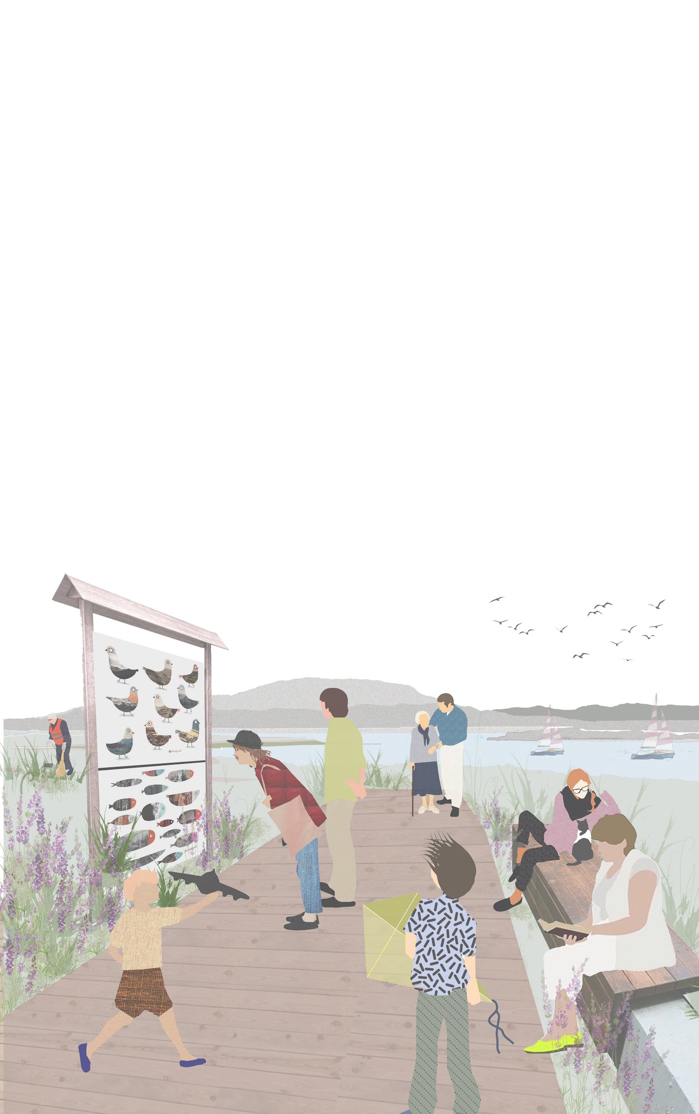
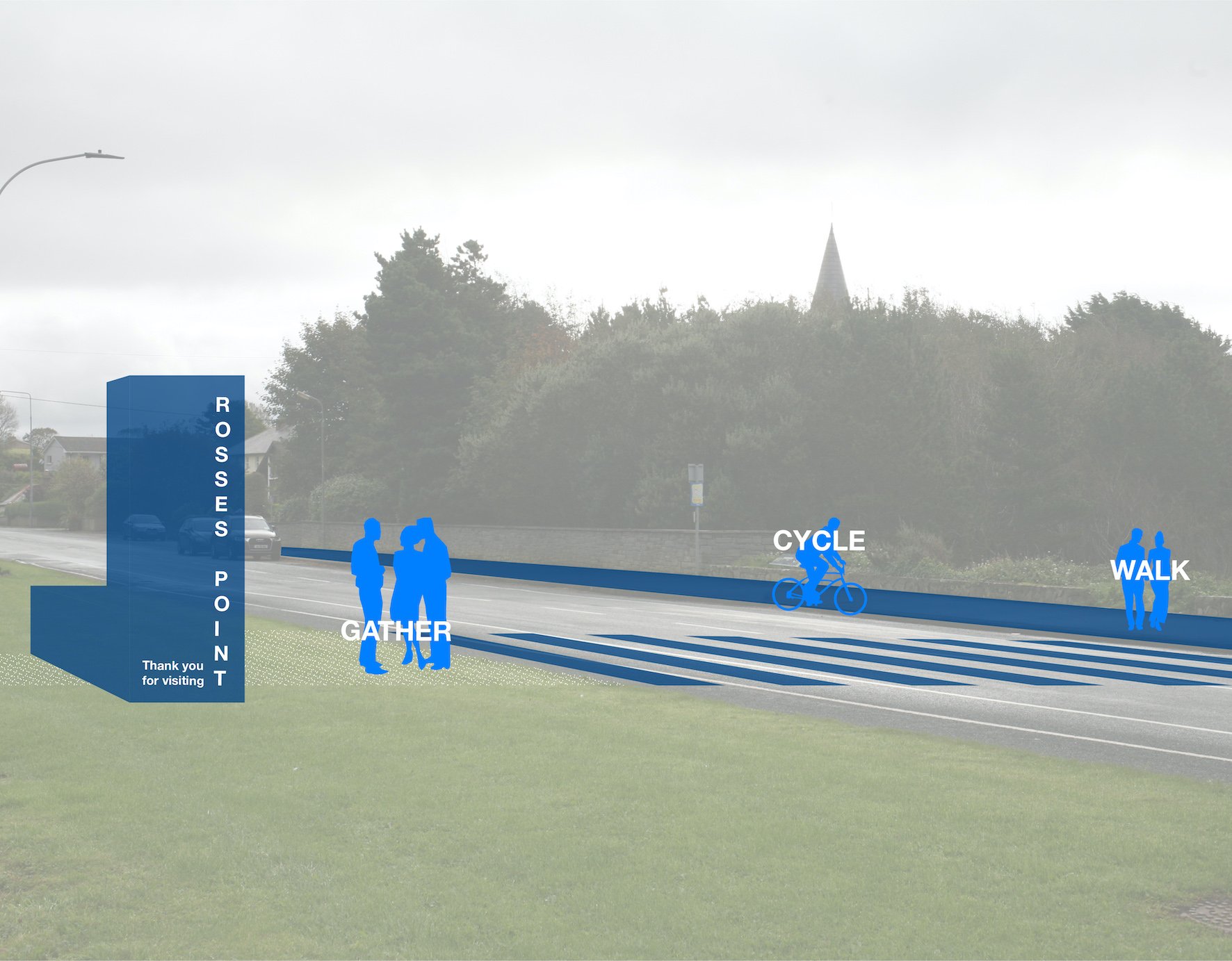
Historically the settlement of Rosses Point was along the water’s edge, giving people direct access to the sea. Sligo bay has a strong maritime heritage, as a busy port, boats were a constant fixture in the bay. Boats landed on the beach, allowing people to have direct access from the sea to the village. Houses, shops and pubs had a direct connection to the sea. The village of Rosses Point needs to go ‘down to the sea again’, connecting the people with the landscape giving it back its identity and reminding us of its maritime heritage. This proposal hopes to remind people of Rosses Point's Maritime Heritage. This approach also brings public life to the forefront, to encourage more sustainable travel patterns and safer streets in the village of Rosses Point, pedestrians are at the top of the user hierarchy.
Images: NOJI